What Ai2 announced
On October 14, Ai2 introduced HiRO-ACEv2, combining a coarse climate emulator with a model that generates finer-scale output. The update expands beyond rainfall to include multiple fields, including wind and pressure. Ai2 reports global three-kilometer climate data at roughly one three-hundredth of the computational cost of its X-SHiELD comparison model. Those are the research team’s results, not Signal Scroll testing.
A crucial boundary accompanies the announcement: the system is currently tied to the climate represented in its training setup. Ai2 says adapting it to other climates, including a warmer future, remains future work. This is research about generating climate simulations, not a new public storm-warning service.
Source: Ai2: HiRO-ACEv2: Simulating extreme weather at 3 km resolution for a fraction of the cost ↗
Detail is one question; meaning is another
Our reading of the announcement is that cheaper detailed simulations could make it easier to explore many possible situations. But when a map looks unusually crisp, pause before treating every tiny feature as a location-specific promise.
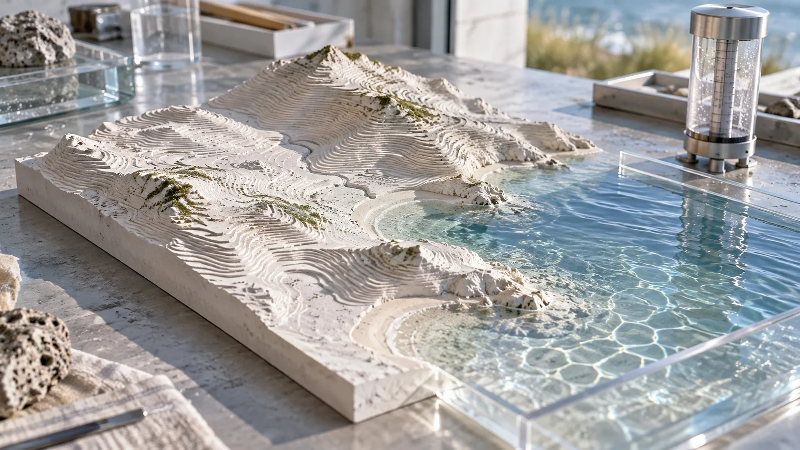
Think of a fictional coastal campus deciding where to put equipment. A colorful image might help start a conversation, but the decision still needs questions the image cannot answer by itself. What conditions does the model represent? Is the output one simulated scenario or a summary of many? Which measurements were compared, and what happened in the difficult cases?
That habit travels well beyond weather. A convincing visual is an invitation to inspect its evidence, rather than a replacement for it.
Give the map a caption that earns its confidence
For a science class or creator project, try writing two captions for the same research image. The first should describe only what is visible. The second should explain the model, comparison, and limitation in plain language.
Then ask a friend what each caption led them to believe. If the first made them assume a real forecast for their neighborhood, the missing context matters. Keep those distinctions visible when sharing AI science: what was generated, what was evaluated, and what remains unknown.
Try this, then make it yours.
Open Ai2’s announcement and identify one reported result and one limitation before sharing its visualizations.
Explore the tool ↗Follow the signal.
Our reporting starts here. Practical suggestions are our analysis, and vendor performance statements are claims unless independently verified. We haven’t hands-on tested this release.
- Ai2: HiRO-ACEv2: Simulating extreme weather at 3 km resolution for a fraction of the cost ↗ · 2026-10-14